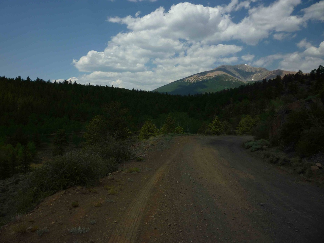
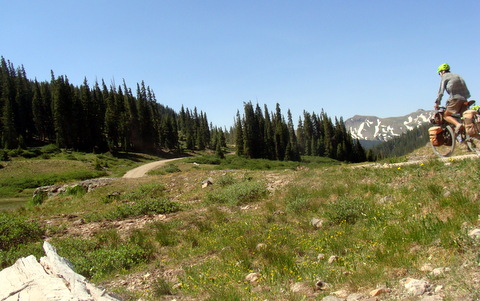
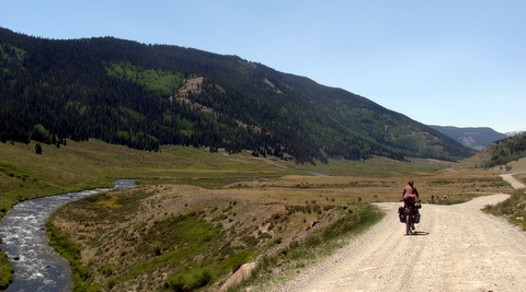
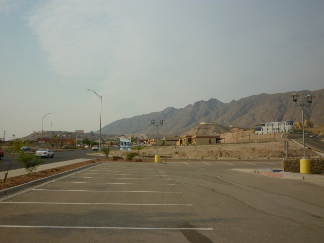
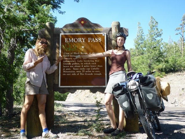
The Road from Marshall Pass toward Salida, also known as The Land fo Milk and Honey. We will take a rest break in Salida and EAT PIZZA
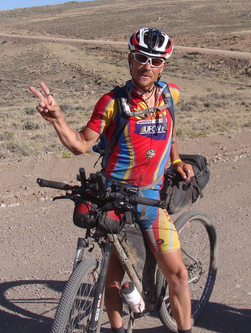
We started running into the racers about a week ago, yeah thats right there are some folks out there crazy enough to race this route. The winner finished with an average of 170 miles a day and set a new record of 16 days! Most of them are in a hurry and don't stop for too long but I got a photo of Max Morris who is currently in 23 place. Best of luck to all of them.
Holy Moly! Gorgeous scenery heading up to Carnero Pass. AND an easy grade. what more could we ask for?
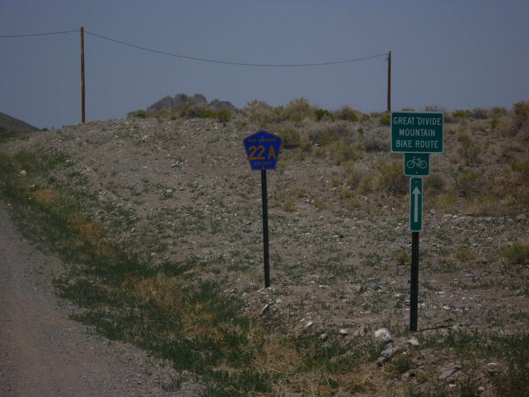
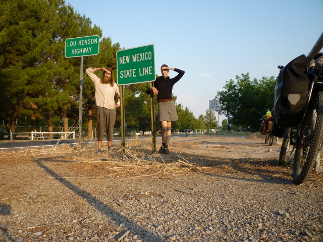
Our first GDMBR sign outside of Del Norte, Co. Immediately after this we get lost... Is there a connection?
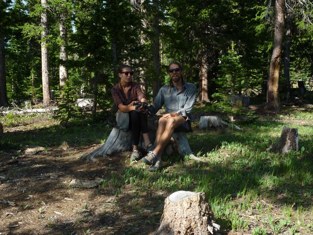
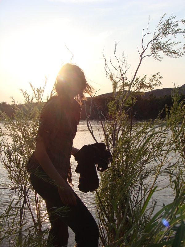
Sitting on Stumps. 'Nuf said.
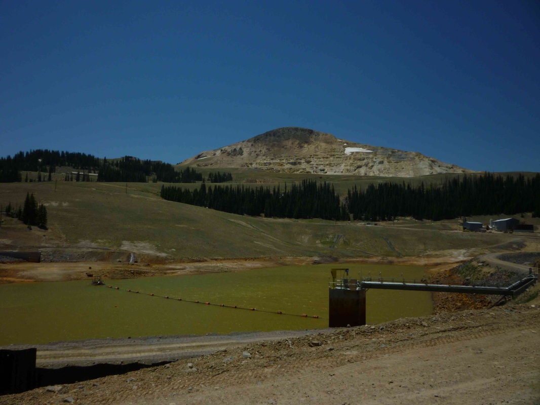
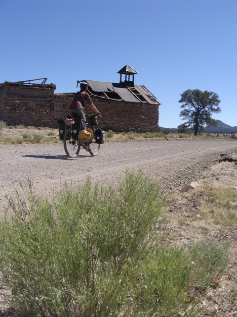
Summitville, before Indiana Pass. This is an EPA Superfund site. Horrendous mining practices destroyed this area, particularly the water ways. There is now a clean-up effort underway. MMMM, the water looks likes gatorade. perhaps we can fill our water bottles here? No! No drinking the water! It's got cyanide in it!
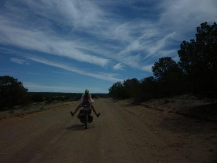
Heading up to Indiana Pass at 11.910 feet. The air gets thin up there, making it hard to breathe.
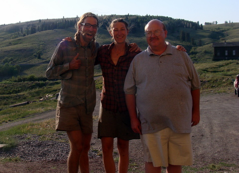
OK... so this is a bit of a long story so I will make it short. Steven Flowers is his name and he helped us out big time. In the next few pictures you will see us crossing a creek, we were lost but we didn't know it at the time. It turns out that we missed a turn and went down a different watershed than we should have, this brought us into the middle of nowhere. We were already stressed on food so getting lost was not the best move. Well almost nowhere, lucky for us we happened to run into the historic Cumbres Toltec railway at the Oiser creek station. Even luckier, the Osier Creek station is where Steven Flowers lives in the summers and prepares lunch for the train passengers. He hooked us up with an amazing Thanks Giving quality meal and his cousin David gave us a ride over a mountain and out to a highway where we would be able to get back on route. Many, many thanks.
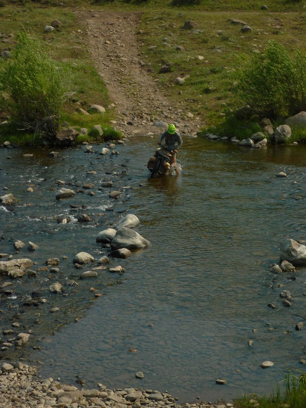
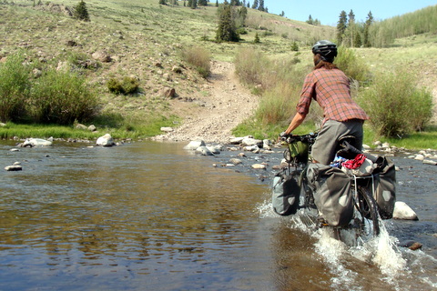
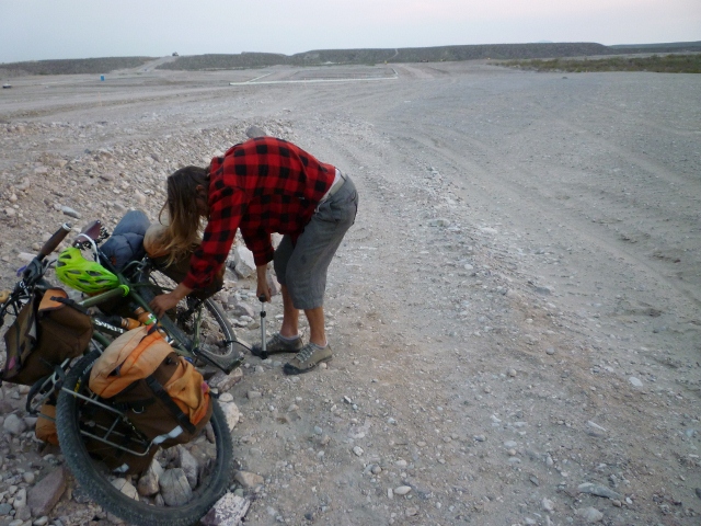
Ah yes. Another failed creek crossing. We were bold, but the bottom was rocky.
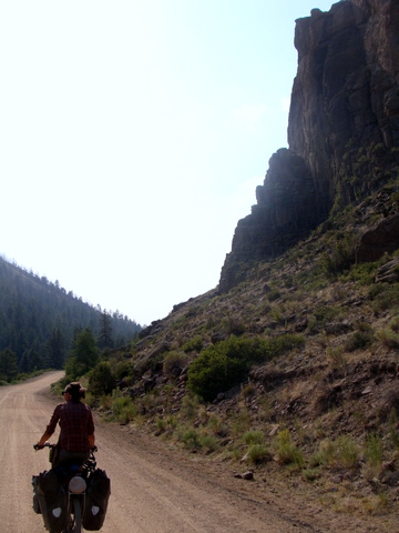
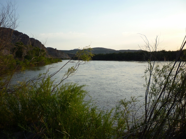
Following the river into Platoro, CO
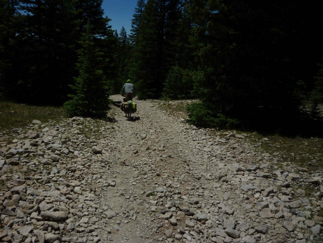
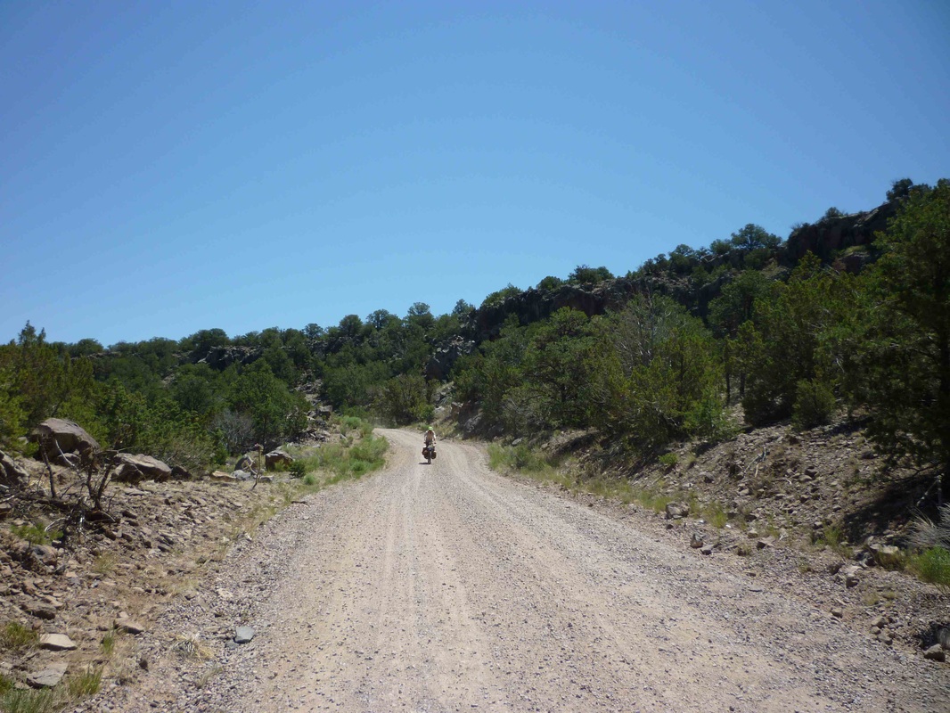
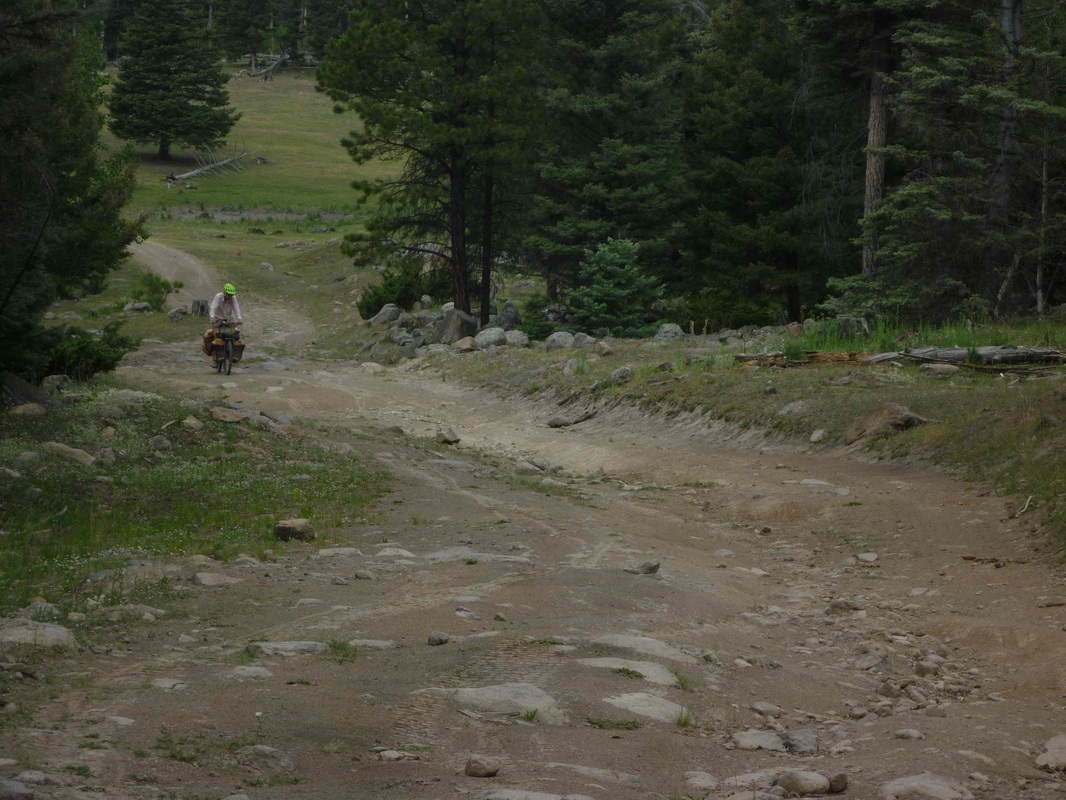
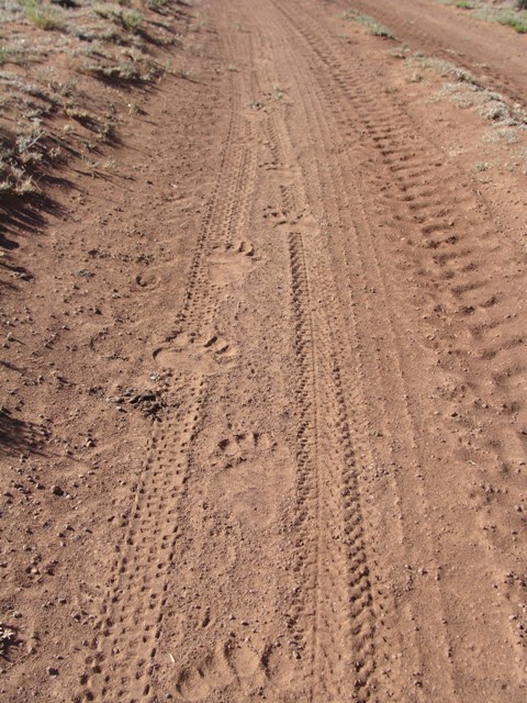
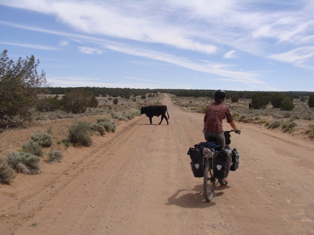
Aaron heading uphill toward Brazos Ridge. This Road just kept getting worse. This photo doesn't even come close to showing the madness of road erosion in New Mexico.
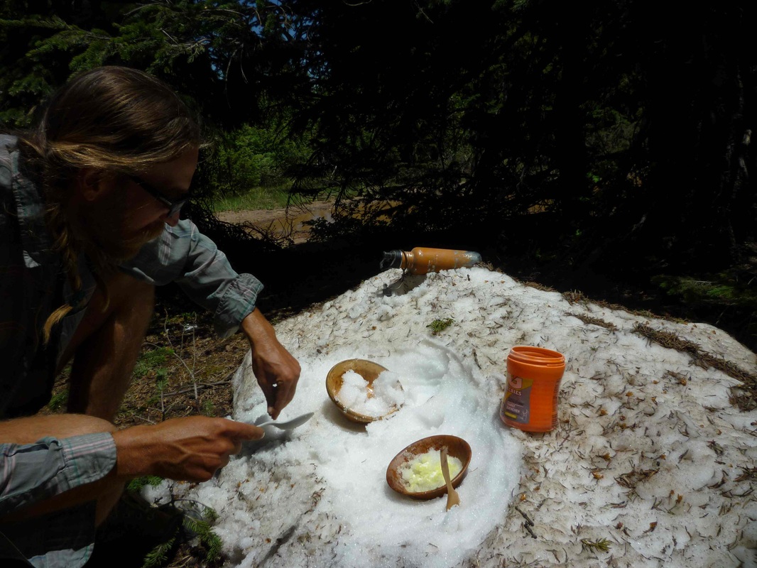
Gatorade Powder +Snow = Gatorade Slushies.
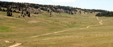
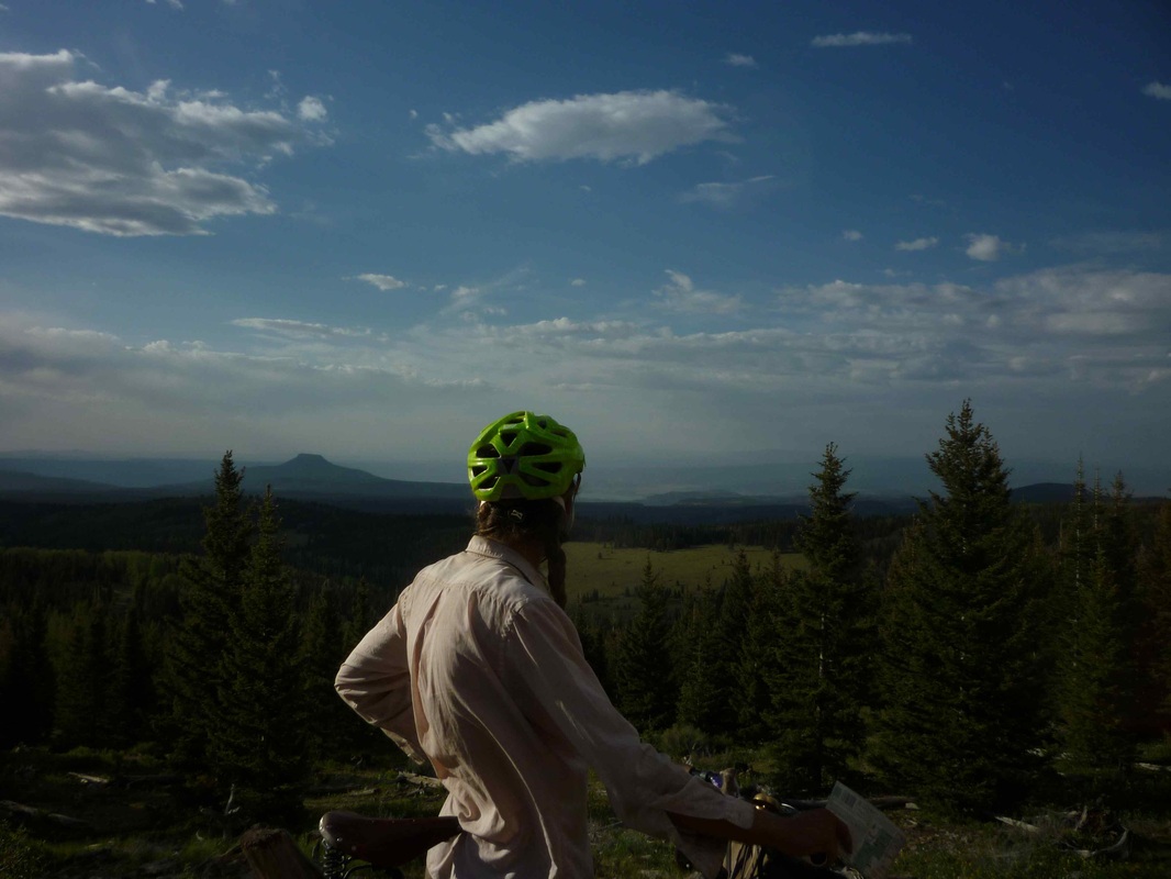
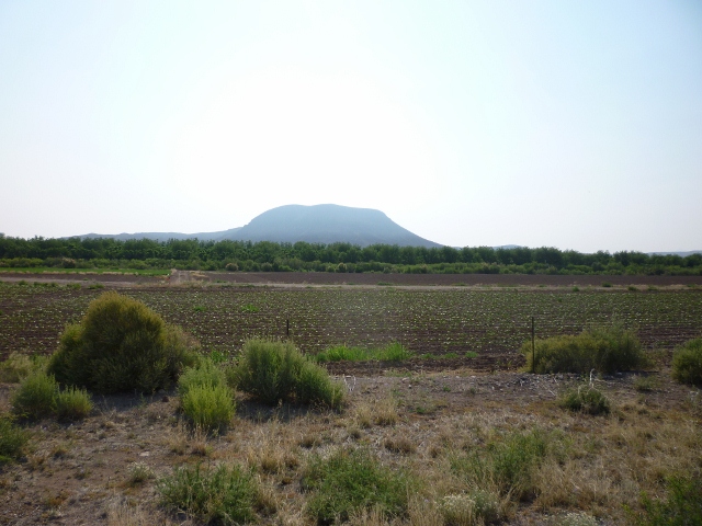
Many beautiful high elevation meadows along the way.
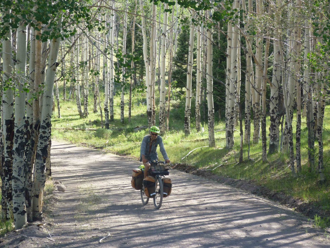
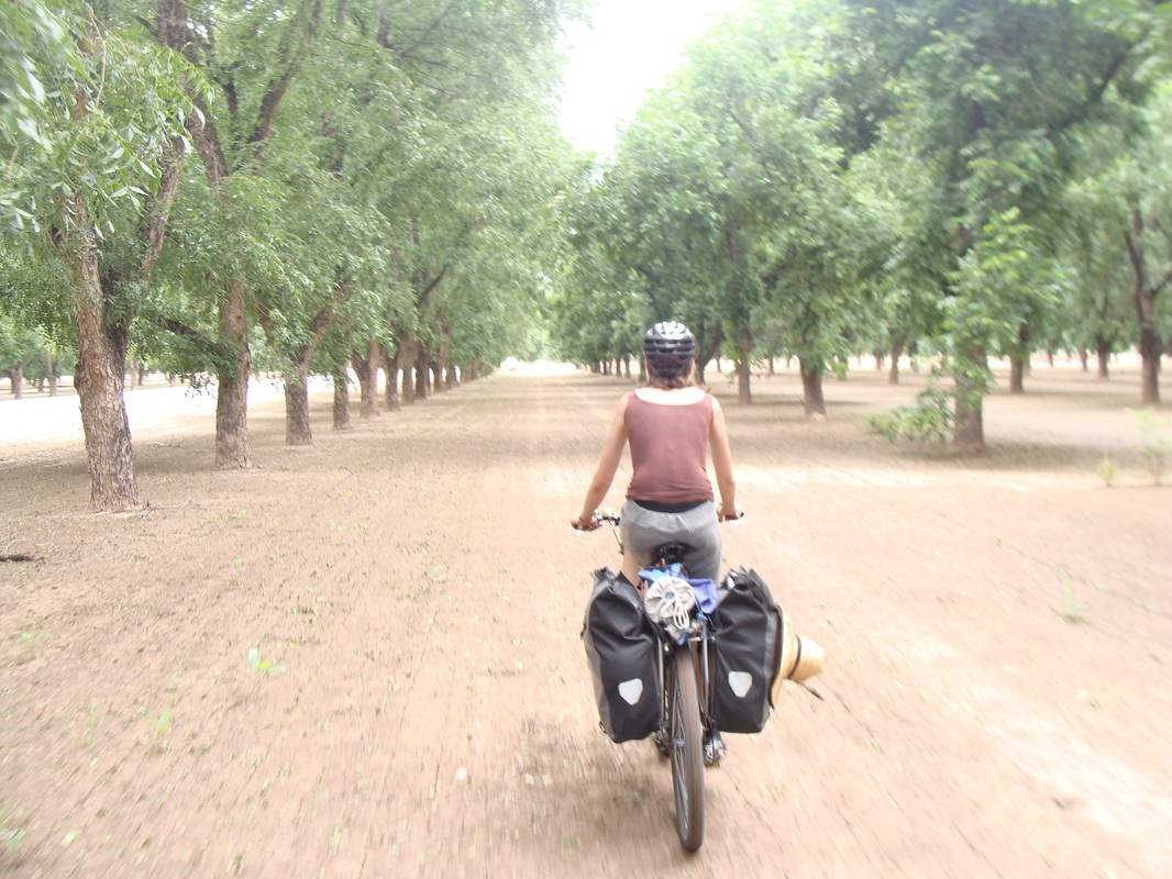
Cruising through the Aspens. Life on Easy Street.
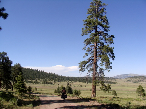
We have taken refuge in the shade of many a tall beautiful Ponderosa pine.
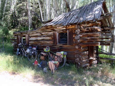
...and the shade of old cabins. We sure do love our shady rest breaks.
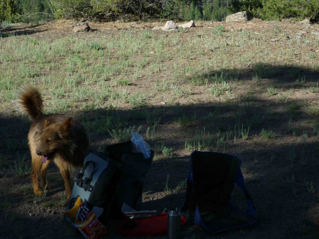
Aaron? Is that you? No! It's Aaron's dog twin visiting our pirate camp spot outside of Canon Plaza.
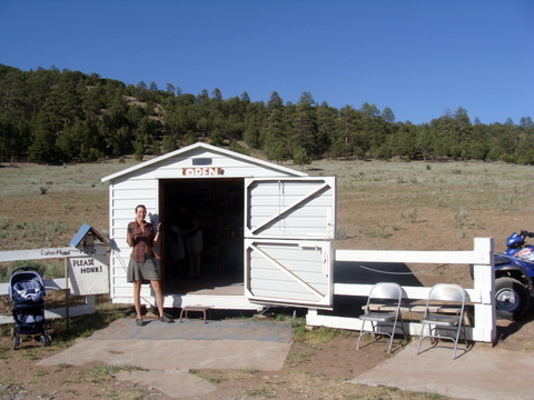
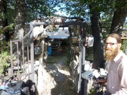
The summer store is in a tiny town and is absolutely amazing. It started out as a summer lemonade stand for Joe and Silvia's children 15 years ago. The kids have grown and moved away but Joe and Silvia still keep it open and love to chat with the passing fisherman and cyclist. The summer store provided us with some of the best snacks and cold drinks of our trip, definitely some of the most memorable. Thanks Joe and Silvia.
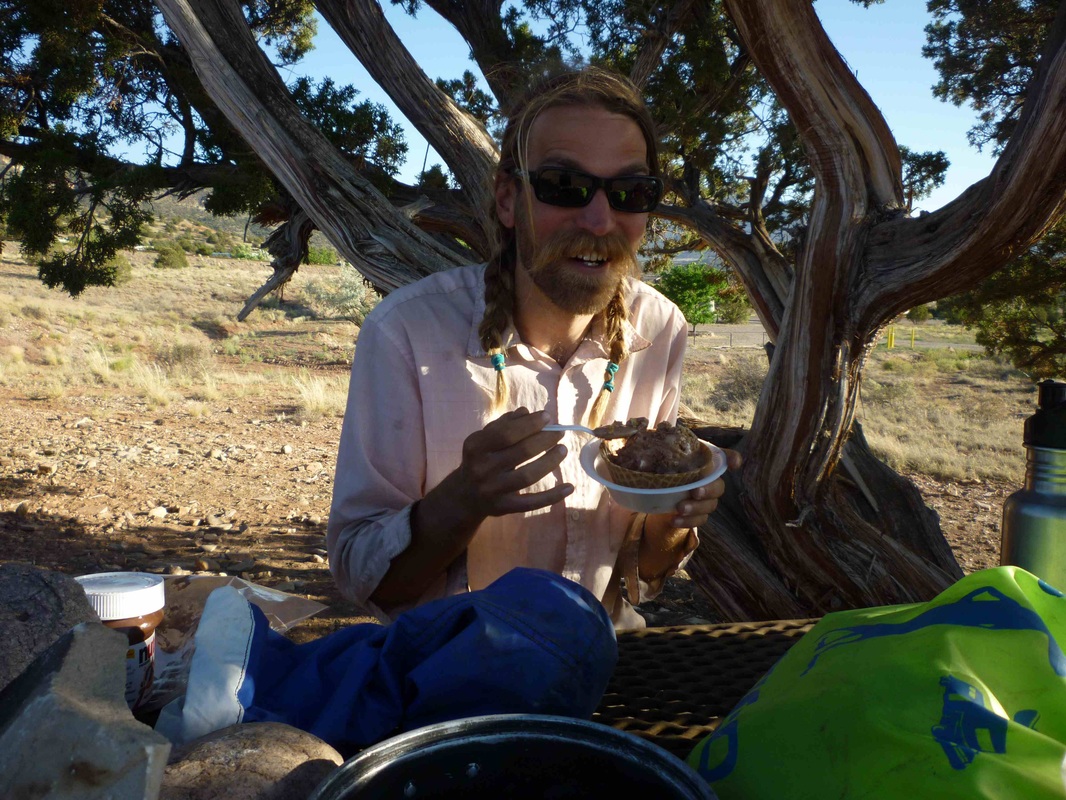
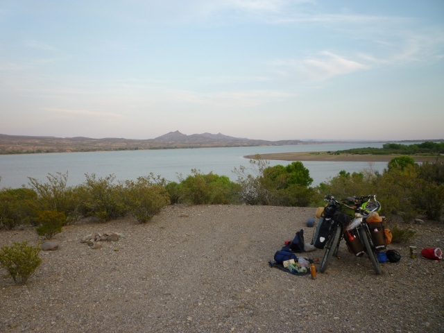
We rode to the Abiquiu Dam to camp. The road there was REALLY stressful because it was paved and had heavy traffic. Lots of RVs towing boats. Anyway, somehow we survived and arrived at the Resevoir with time to swim. The Amazing camp hosts gave us cold water upon arrival. Later, the host came to our tent site with rocky road ice cream in waffle bowls. We are truly spoiled.
Bocci ball with some wild growing gourds that we found roadside.
Aaron crusing downhill. He likes to go fast! Too Fast!!!!!! This was a beautiful hill to go down, though the hot sun was not so delightful. We will make it to Abiquiu, the home of Georgia O'Keefe.
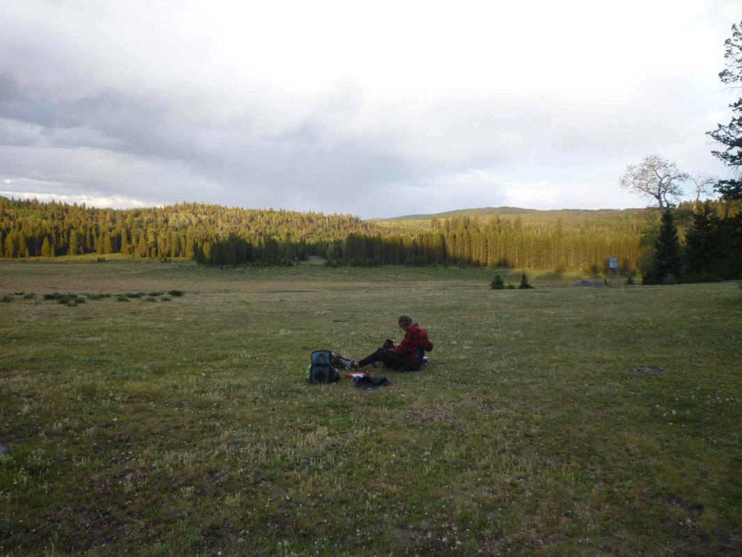
Campsite for the night and a HUGE meadow, half a mile across and one mile long near the top of the mountain. Not a single soul to be seen, save a few Elk snacking on some grass on the other side. Glad we have rice and beans for dinner.
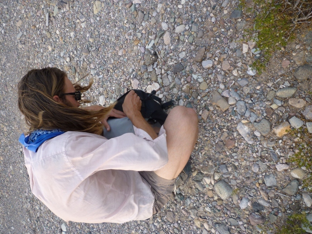
Ah! The top of the climb... Looks easy doesn't it? Well, sometimes it is...at this moment we were semi-lost. A road was unmarked and we were sure to take it. It headed downhill, which is always appealing....but if we are wrong and have to back track, that is not so appealing. I often wonder if I should better document these moments when we are lost and looking at a fork in the road. It never seems like a good time to take a picture in the moment, but from now on I will show the truth of this ride through the photos! No more amazing views!
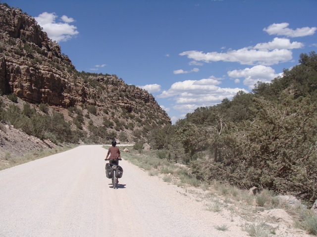
Aaron heading up a gnarly steep and bumpy road in the Santa Fe Forest.
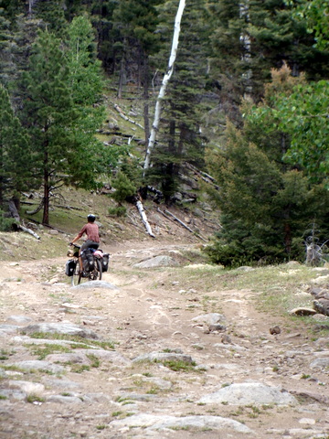
Yeah... Gnarly!
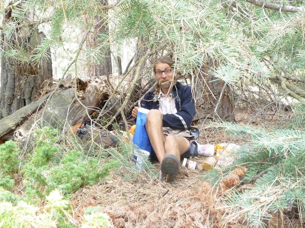
It's Aarons's B-day and we have our first rainstorm. Luckily we are in the trees so we find shelter under this ponderosa pine. Snacks for everyone!
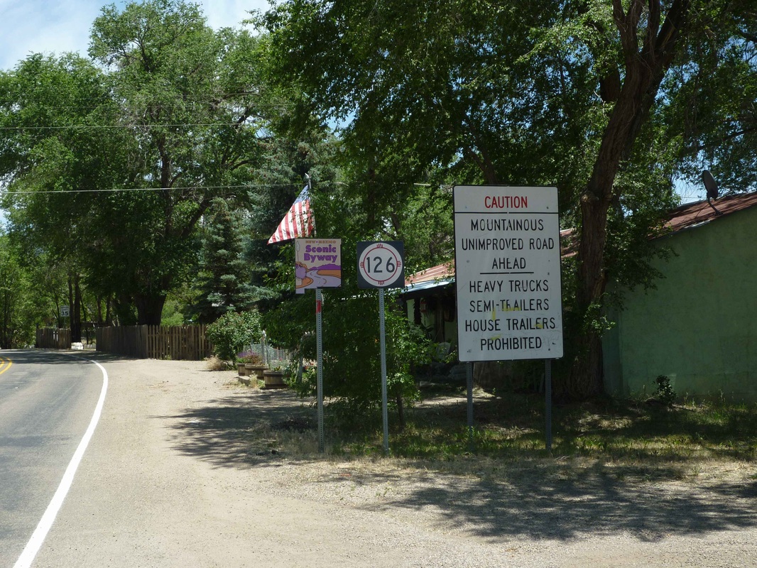
After leaving Cuba, we see this sign! We love us some Mountainous, unimproved roads! The first 10 miles are paved and then we hit the dirt as we enter the Santa Fe National Forest, which is totally gorgeous.
 RSS Feed